In short: Around Lake Annecy, the main climbs are the Col de Leschaux (897 m), Le Semnoz (road up to about 1,660 m), the Col de la Forclaz de Montmin (1,150 m) and, in the Bauges, the cols of Plainpalais (1,173 m), Les Prés (1,135 m), Le Frêne (950 m) and Tamié (907 m). The Leschaux climb from Saint-Jorioz passes Gîte du Cruet: 10.8 km at 5.1% average.
The climbs in figures
| Climb | Altitude | From | Length | Ascent | Avg. gradient (max) |
|---|---|---|---|---|---|
| Leschaux, via Le Cruet | 942 m (Borny) | Saint-Jorioz | 10.8 km | 552 m | 5.1% (7.9%) |
| Leschaux | 897 m | Sevrier | 11.9 km | 441 m | 3.7% (7%) |
| Semnoz | ≈ 1,660 m | Col de Leschaux | 13.4 km | 763 m | 5.7% (12%) |
| Semnoz | ≈ 1,660 m | Quintal | 11.3 km | 922 m | 8.2% (10.5%) |
| Semnoz | ≈ 1,660 m | Annecy | 17.4 km | 1,212 m | 7% (10%) |
| Forclaz de Montmin | 1,150 m | Vesonne (Doussard) | 8.2 km | 655 m | 8% (13%) |
| Forclaz de Montmin | 1,150 m | Menthon-Saint-Bernard | 10.2 km | 660 m | 6.5% (12.6%) |
| Plainpalais | 1,173 m | Lescheraines | 12.5 km | 583 m | 4.7% (8.5%) |
| Les Prés | 1,135 m | Pont d'Escorchevel | 15 km | 492 m | 3.3% (7%) |
| Le Frêne | 950 m | Saint-Pierre-d'Albigny | 9.6 km | 666 m | 6.9% |
| Tamié | 907 m | Faverges | 10.1 km | 392 m | 3.9% (6.4%) |
| Le Marais | 833 m | Saint-Ferréol | 10.2 km | 388 m | 3.8% (6%) |
Sources: cols-cyclisme.com and Climbfinder (Leschaux from Saint-Jorioz). Altitudes vary slightly between sources.
The Col de Leschaux: the gîte's own climb
From Saint-Jorioz, the D10 winds up above the lake, through the hamlet of Le Cruet and on to the Col de Leschaux. Steady, with 18 hairpins, it is an ideal climb to warm up or to ride home to the gîte after the beach. The Sevrier side, faster and gentler, lets you make a loop.
Le Semnoz: Annecy's giant
A former Tour de France stage finish, Le Semnoz is Annecy's big climb. From the Col de Leschaux, the road climbs for 13.4 km to the plateau at around 1,660 m. The Quintal side is the toughest (8.2% average), the Annecy side the longest. At the top, the view of Mont Blanc and the lake makes every pedal stroke worthwhile.
The Forclaz de Montmin: the east-shore legend
From Doussard and Vesonne, the Forclaz de Montmin climbs for 8.2 km at an average of 8%, with sections at 13%. At the top, you can watch paragliders take off above the lake. Take care on the descent to Talloires: the road is narrow and very busy in summer.
The Bauges cols: quiet roads and alpine scenery
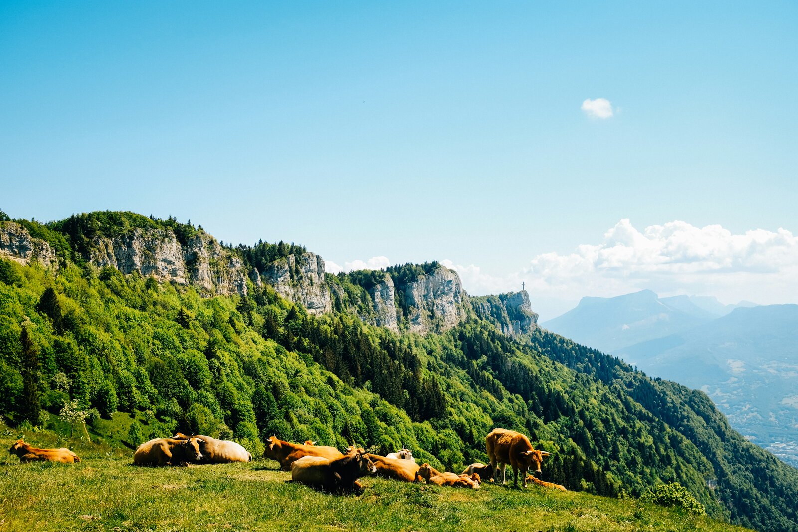
Crossing the Col de Leschaux takes you into the heart of the massif. Plainpalais, Les Prés and Le Frêne can be combined into loops on quiet roads, between forests and villages. Tamié, to the south, passes the Cistercian abbey that makes the cheese of the same name.
Loop ideas from the gîte
- Short loop: down to Saint-Jorioz, greenway to Sevrier, back up via the Col de Leschaux from Sevrier, return to the gîte.
- Big day: Col de Leschaux, climb Le Semnoz, descend to Annecy, return via the greenway and the climb to Le Cruet.
- Bauges tour: Leschaux, Lescheraines, Col de Plainpalais, then back the same way or as a loop depending on your legs.
In 2026, the RD 909A between Talloires and Doussard is closed from 14 September to 18 December: bear this in mind for east-shore loops.
The cyclists' gîte
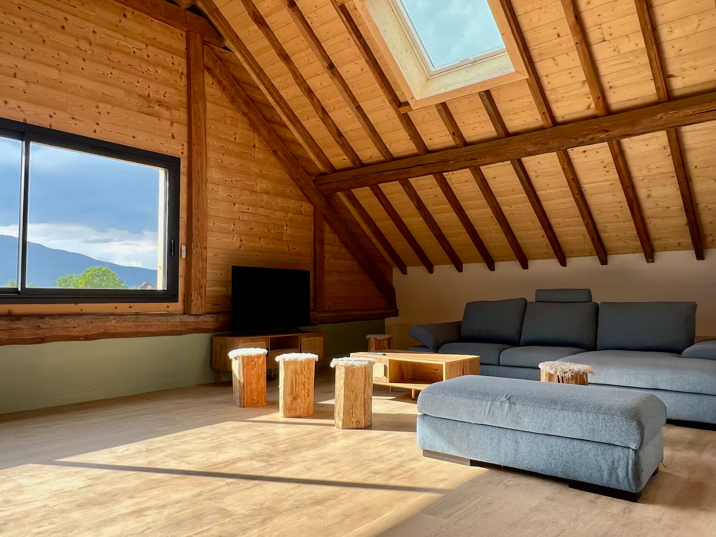
Covered parking, a kitchen equipped for 8, bed linen and towels provided: Gîte du Cruet is an ideal base for a cycling trip with friends. And the family-friendly greenway is 10 minutes away: see our cycling gîte and lake loop page. See you in 2027 for the UCI World Championships, whose time trials will be held around the lake.